Les Anciens Moulins
Loop of 18.3 km with 250 m of climbing, starting from Rioz.
- distance
- 18.3 km
- elevation gain
- 250 m
- high point
- 341 m
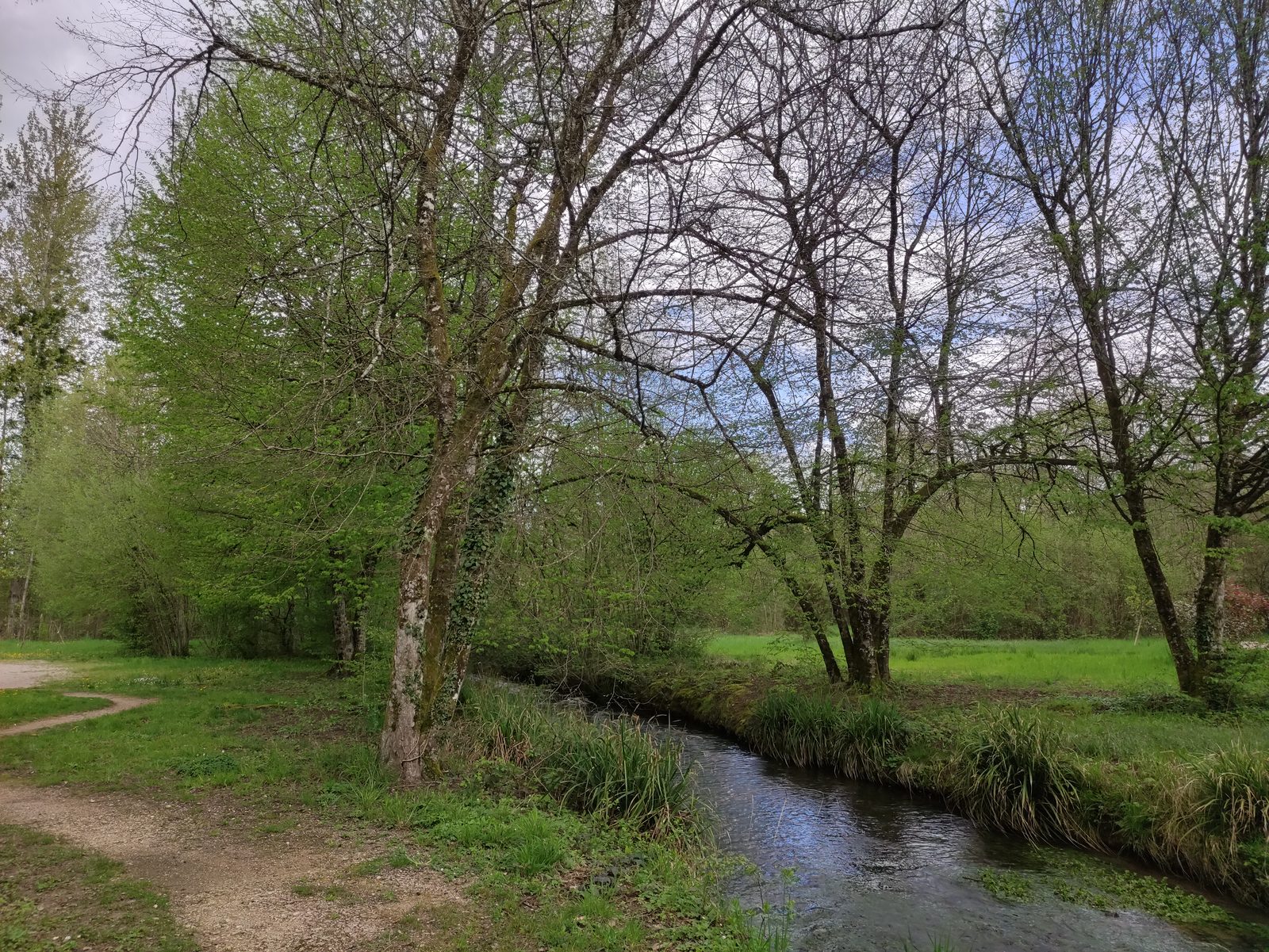
The hike
From the "départ rando" sign
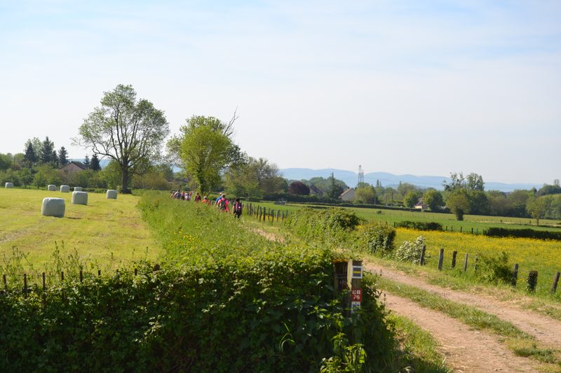
follow the shore of Lac de la Faïencerie to the Moulin de Rapigney. Follow the signs through the forest to the viewpoint overlooking the village of La Malachère.
Turn right up the forest track leading to the village of Anthon. Cross the D15 to reach the hamlet of Dournon on the heights. At the crossroads, turn right onto the road and cross the LGV.
Take the gently sloping farm track on the right. Continue straight ahead until you reach a wood.
4 Take the dirt track on the left to reach the playground. Pass the wash-house, cross the hamlet of Vieilles-Granges and head for Neuvelle-lès-Cromary.
5. leave the road and turn left into the forest to reach the Martinet mill. at the end of the wood, turn right to reach the village of Neuvelle-lès-Cromary. In the village, follow signs for Rioz, then turn left into rue de la Charme to reach Verjoulot.
6 At the traffic circle, go straight ahead, then left into the landscaped park. Follow the signs in Rioz back to Lac de la Faïencerie
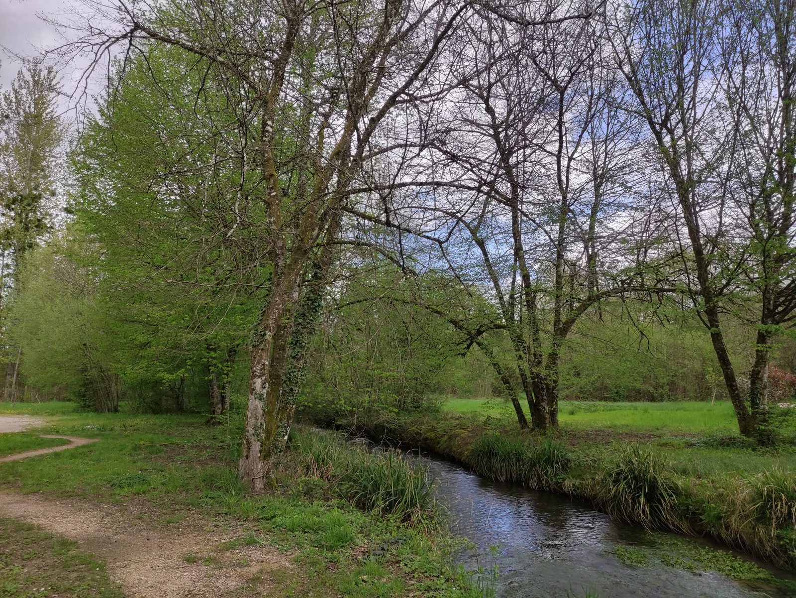
More hikes nearby
-
 Autour de Brancion
Martailly-lès-Brancion · Mâconnais
11.1 km · 283 m D+ · Loop
-
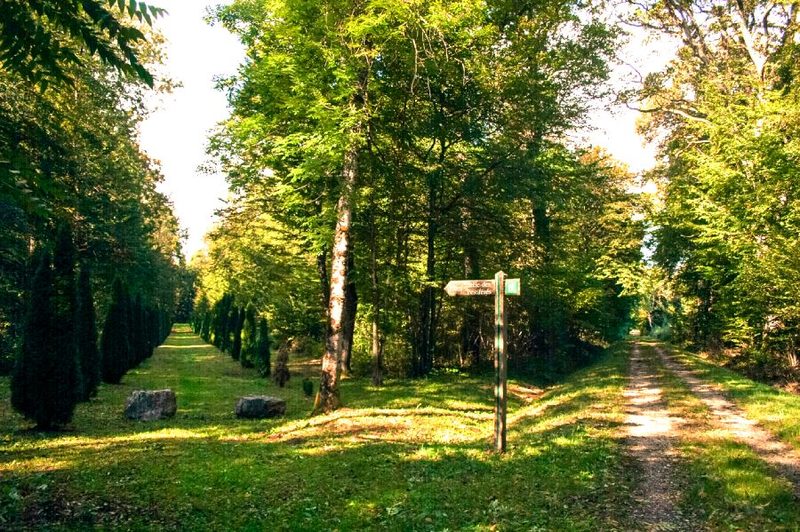 Bois des Fouchères
Recologne
14.6 km · 64 m D+ · Loop
-
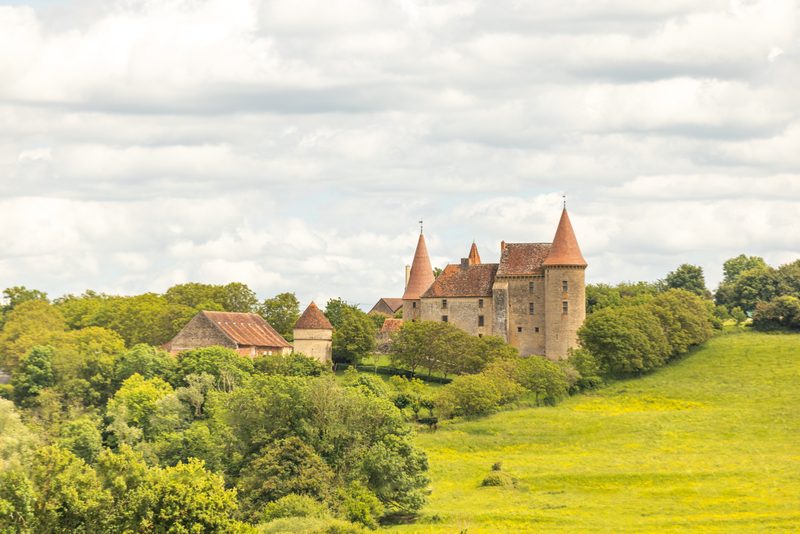 Boucle Gueugnon-Chassy
Gueugnon
11.4 km · 155 m D+ · Loop
-
 Chemin de la Romance
Lain · Puisaye
17.7 km · 227 m D+ · Loop
-
 Chemin du Tacot
Alligny-en-Morvan · Morvan
7.5 km · 182 m D+ · Loop
-
 Chemins de la Jouvencelle
Saint-Gengoux-le-National · Côte chalonnaise
18.5 km · 383 m D+ · Loop