Le Gaschney – Vallée de la Wormsa
Loop of 18.1 km with 933 m of climbing, starting from Muhlbach-sur-Munster.
- distance
- 18.1 km
- elevation gain
- 933 m
- high point
- 1,014 m
0
484 m – 1,014 m
18.1 km
< 4 %4–8 %8–12 %12–18 %18–25 %> 25 %
The hike
Long descent to Metzeral 500 m (blue round*). Cross part of the village (red rectangle for 500m), climb to the place called "Sillacker" (red and white rectangle) and then plunge back to the bottom of the Wormsa valley (red triangle)
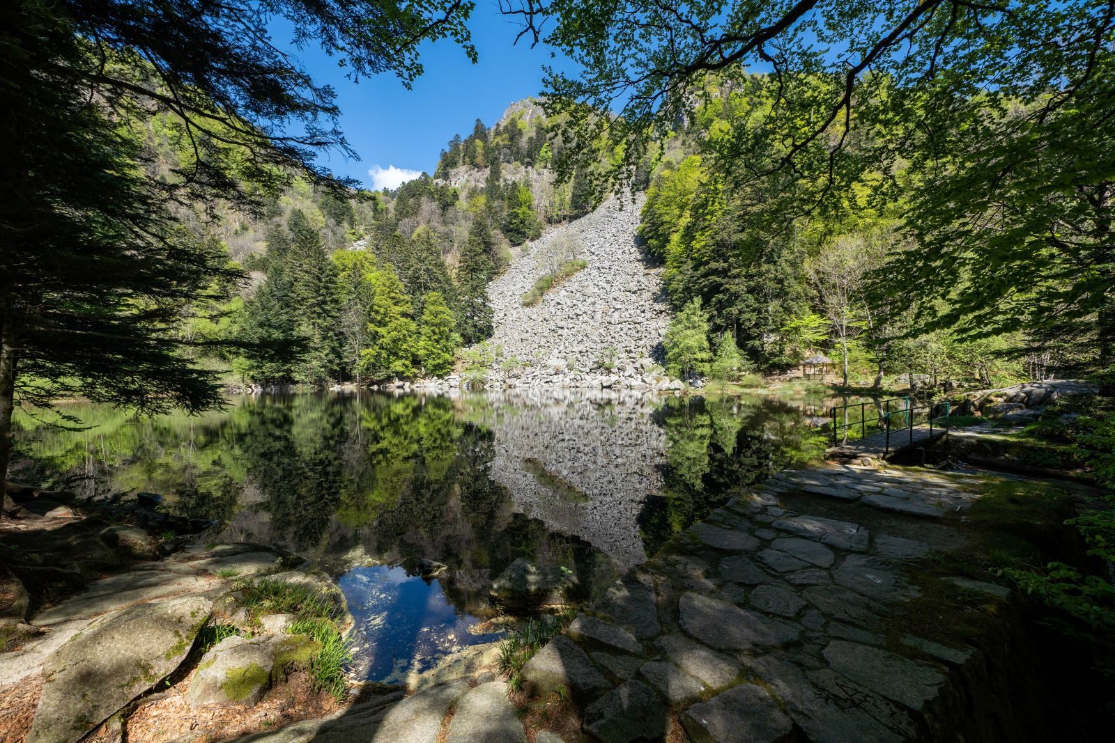
Ascend via the Fischboedle and Schiessrothried lakes (red rect.).
Return to the Gaschney (blue rect.).
(* The trail courses mainly use the marked trails of the Club Vosgien. On each sector, follow the corresponding symbol in the direction indicated)
More hikes nearby
-
 Camp Turenne et Tour du Wolfskopf
Cernay · Hautes-Vosges
17.1 km · 617 m D+ · Loop
-
 Cascade du Rudlin – Gazon du Faing
Plainfaing · Hautes-Vosges
12.5 km · 624 m D+ · Loop
-
 Envol vers le Treh et le Markstein
Fellering · Hautes-Vosges
18.1 km · 1,013 m D+ · Loop
-
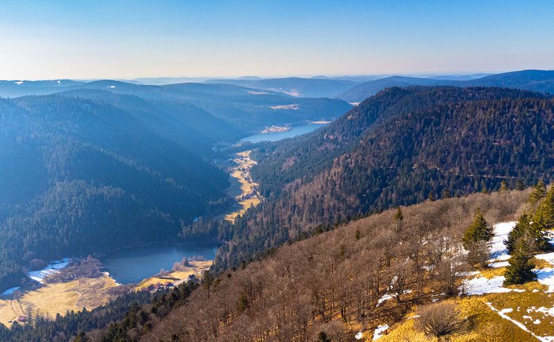 Hautes Chaumes et lacs
Gérardmer · Hautes-Vosges
40.9 km · 1,892 m D+ · Loop
-
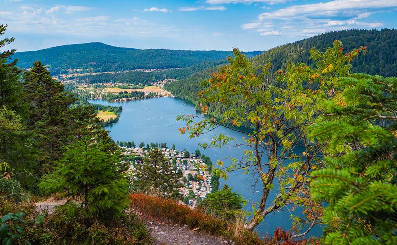 L'Entre 2 Lacs
Gérardmer · Hautes-Vosges
21.8 km · 974 m D+ · Loop
-
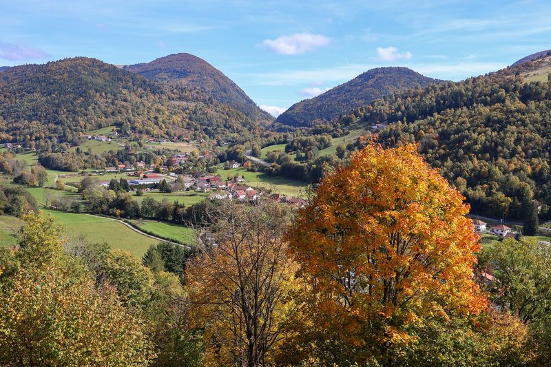 La p'tite trotte des Hautes Vosges
Fresse-sur-Moselle · Hautes-Vosges
22.2 km · 854 m D+ · Loop