Roche du Prêtre
Loop of 6.5 km with 399 m of climbing, starting from Consolation-Maisonnettes.
- distance
- 6.5 km
- elevation gain
- 399 m
- high point
- 841 m
0
500 m – 841 m
6.5 km
< 4 %4–8 %8–12 %12–18 %18–25 %> 25 %
The hike
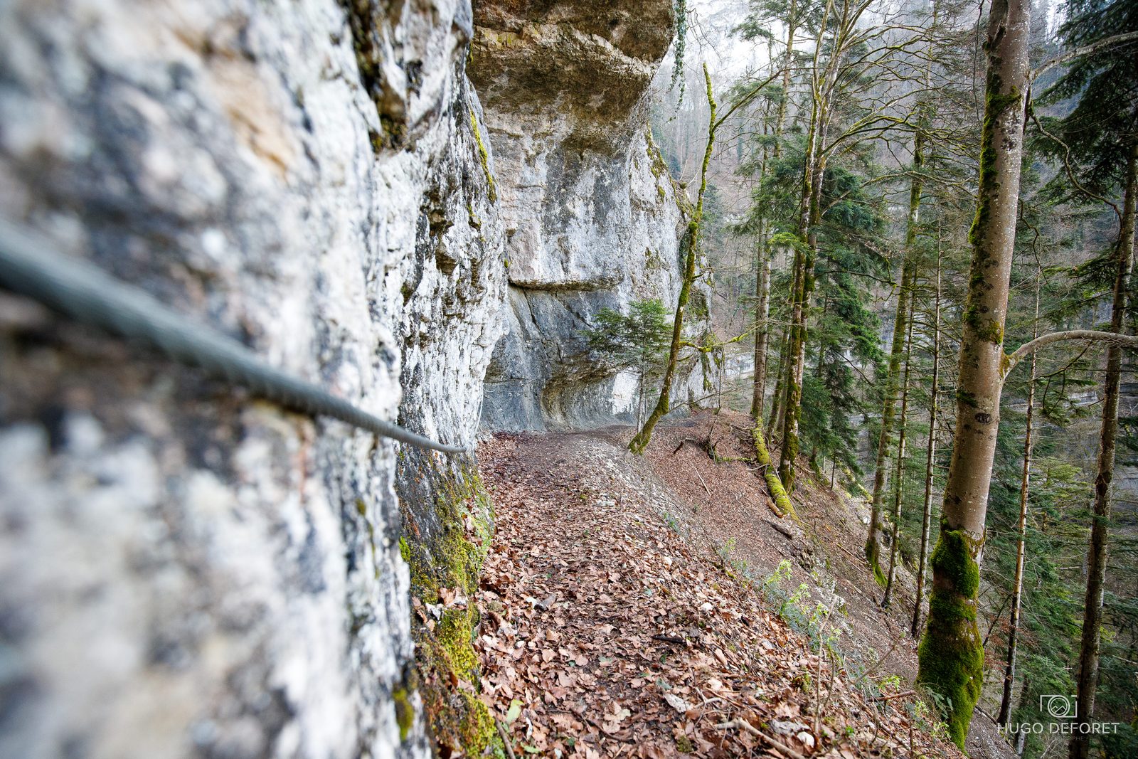
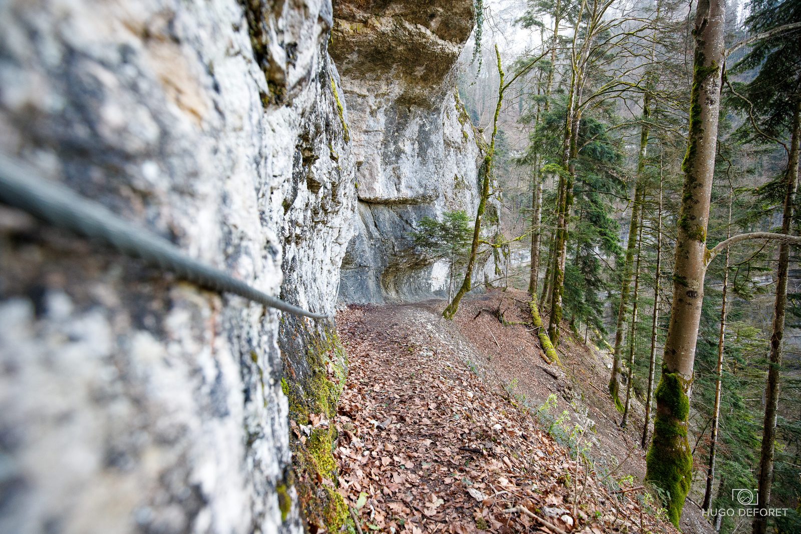
This seven-kilometer trail takes you to the highest point of Val de Consolation at 837 m altitude. Before taking in the beautiful view from the Roche du Prêtre, you'll cross the Val de Consolation park, climb cliffside steps and discover the Lançot cave. A challenging but spectacular hike!
More hikes nearby
-
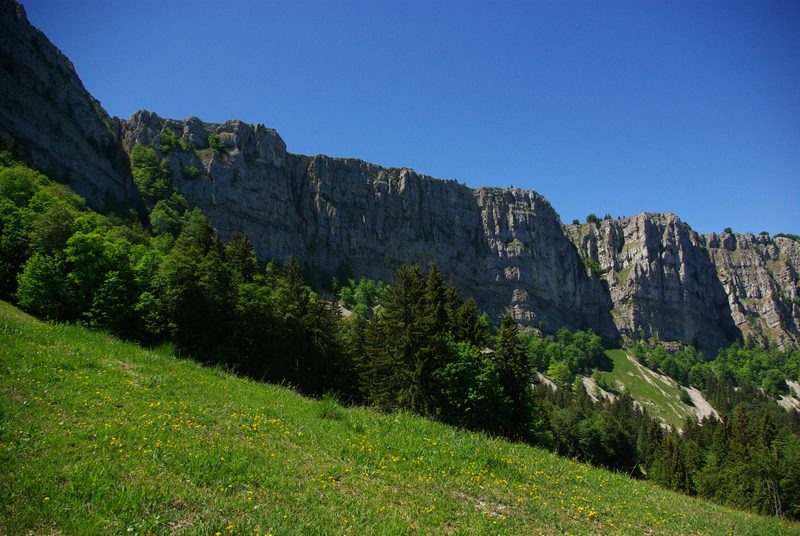 Tour du Mont d'Or
Métabief · Haut-Doubs
16.0 km · 798 m D+ · Loop
-
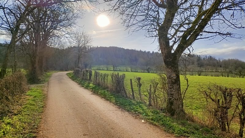 Vautran
Pierrefontaine-les-Varans · Haut-Doubs
13.2 km · 470 m D+ · Loop
-
 Autour de Brancion
Martailly-lès-Brancion · Mâconnais
11.1 km · 283 m D+ · Loop
-
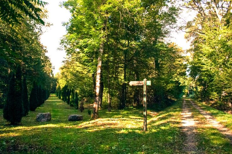 Bois des Fouchères
Recologne
14.6 km · 64 m D+ · Loop
-
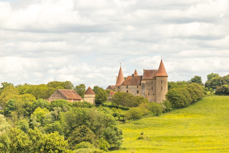 Boucle Gueugnon-Chassy
Gueugnon
11.4 km · 155 m D+ · Loop
-
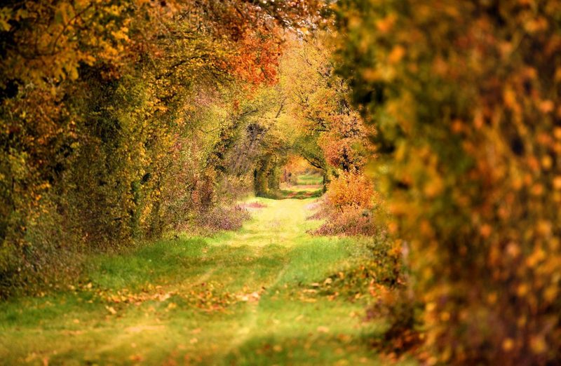 Chemin de la Romance
Lain · Puisaye
17.7 km · 227 m D+ · Loop