Tour du Mont d'Or
Loop of 16.0 km with 798 m of climbing, starting from Métabief.
- distance
- 16.0 km
- elevation gain
- 798 m
- high point
- 1,461 m
0
896 m – 1,461 m
16.0 km
< 4 %4–8 %8–12 %12–18 %18–25 %> 25 %
The hike
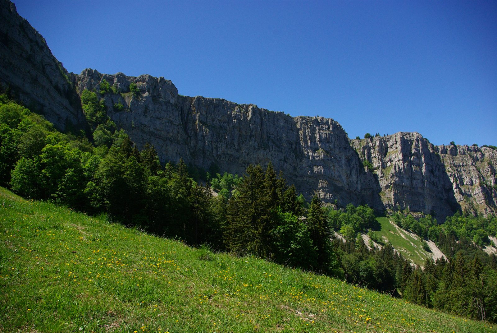
From the Jougnena valley to the crests of the Mont d?Or, this walk winds its way through the forests of the Haut-Doubs, where fir and spruce are king. At the summit, the Mont d?Or, its plateau and ridges, offer the oxygenation of wide-open spaces and the delight of panoramic views. Between the bottom of the Vaubillon valley (a small tributary of the Jougnena) and the summit, between the slopes of Piquemiette and the alpine pastures of Pralioux, between the closed environments of the forest and the airy crest of the rocks, you are guaranteed a beautiful mountain hike.
More hikes nearby
-
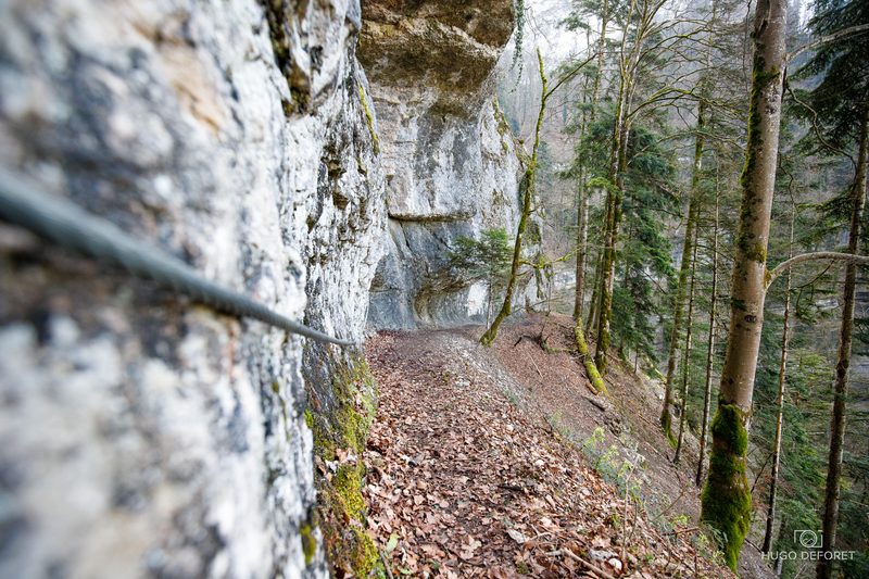 Roche du Prêtre
Consolation-Maisonnettes · Haut-Doubs
6.5 km · 399 m D+ · Loop
-
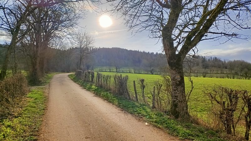 Vautran
Pierrefontaine-les-Varans · Haut-Doubs
13.2 km · 470 m D+ · Loop
-
 Autour de Brancion
Martailly-lès-Brancion · Mâconnais
11.1 km · 283 m D+ · Loop
-
 Bois des Fouchères
Recologne
14.6 km · 64 m D+ · Loop
-
 Boucle Gueugnon-Chassy
Gueugnon
11.4 km · 155 m D+ · Loop
-
 Chemin de la Romance
Lain · Puisaye
17.7 km · 227 m D+ · Loop