Vautran
Loop of 13.2 km with 470 m of climbing, starting from Pierrefontaine-les-Varans.
- distance
- 13.2 km
- elevation gain
- 470 m
- high point
- 942 m
0
572 m – 942 m
13.2 km
< 4 %4–8 %8–12 %12–18 %18–25 %> 25 %
The hike
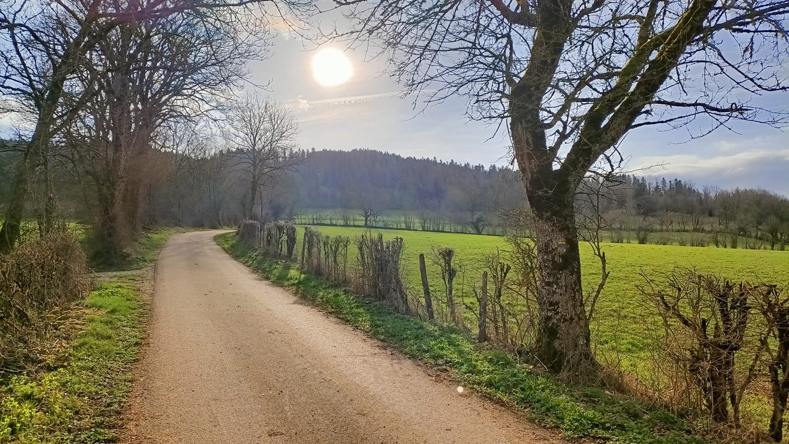
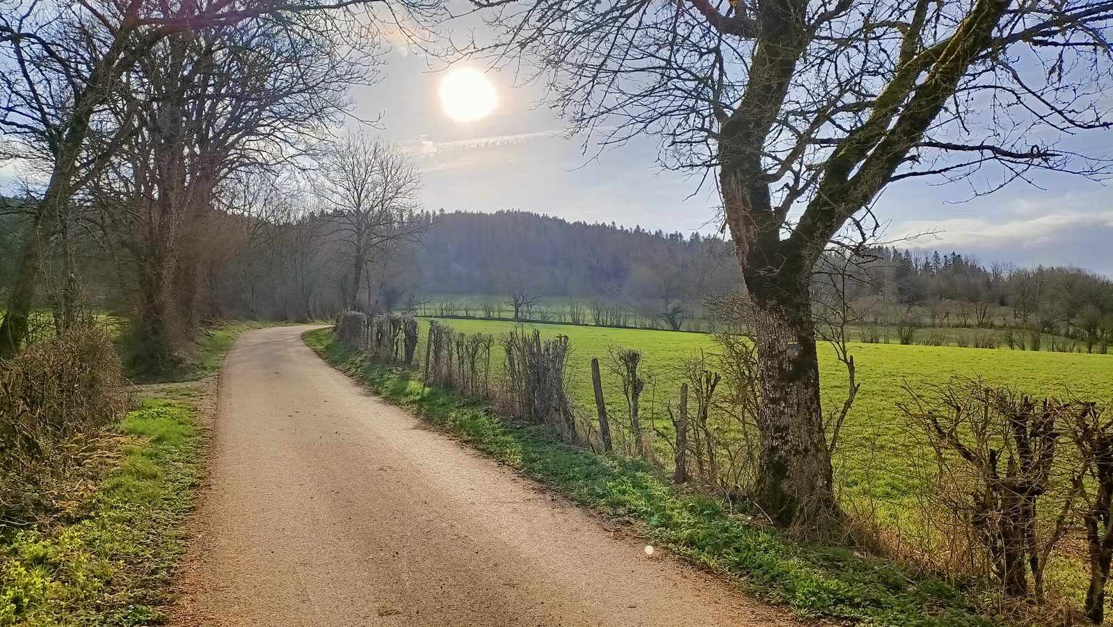
The Vautran trail begins with an ascent through conifers and pastures to the Belmont lookout. From this vantage point, you can see the summit of Chasseral in neighboring Switzerland. The trail then descends into the valley, where you'll discover the Glacière du Roi cave and the Val waterfall.
More hikes nearby
-
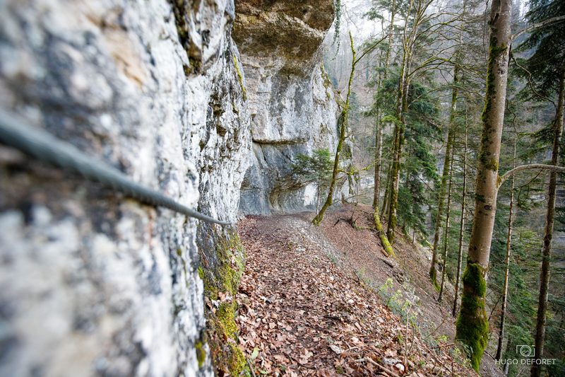 Roche du Prêtre
Consolation-Maisonnettes · Haut-Doubs
6.5 km · 399 m D+ · Loop
-
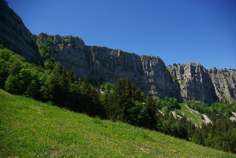 Tour du Mont d'Or
Métabief · Haut-Doubs
16.0 km · 798 m D+ · Loop
-
 Autour de Brancion
Martailly-lès-Brancion · Mâconnais
11.1 km · 283 m D+ · Loop
-
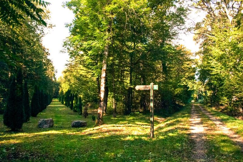 Bois des Fouchères
Recologne
14.6 km · 64 m D+ · Loop
-
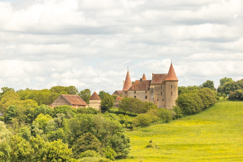 Boucle Gueugnon-Chassy
Gueugnon
11.4 km · 155 m D+ · Loop
-
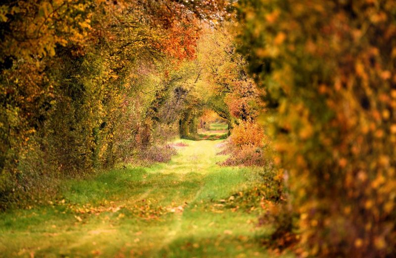 Chemin de la Romance
Lain · Puisaye
17.7 km · 227 m D+ · Loop