Source de la Loue et Aiguillons de Brasse
Loop of 10.0 km with 343 m of climbing, starting from Ouhans.
- distance
- 10.0 km
- elevation gain
- 343 m
- high point
- 735 m
0
530 m – 735 m
10.0 km
< 4 %4–8 %8–12 %12–18 %18–25 %> 25 %
The hike
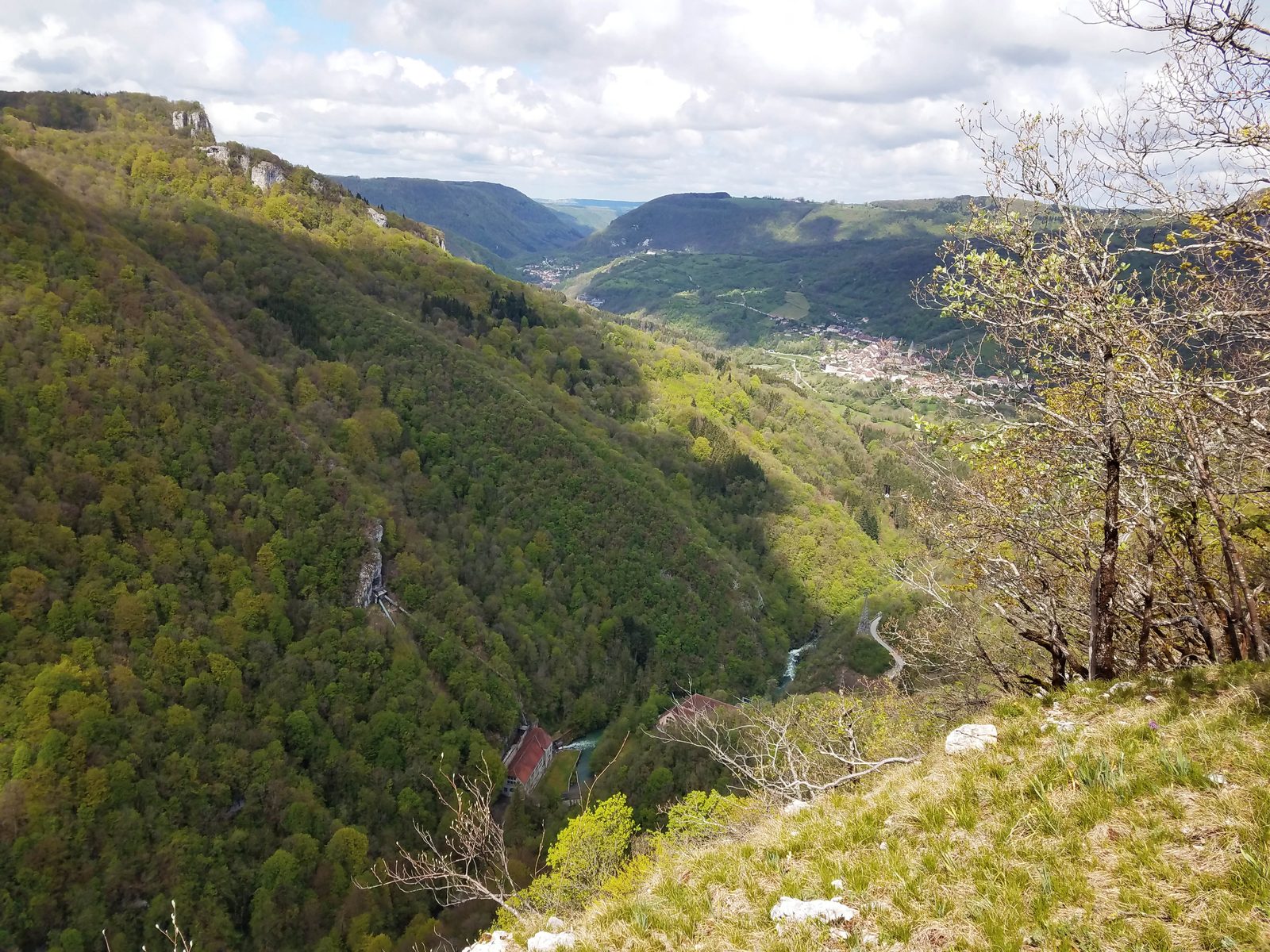
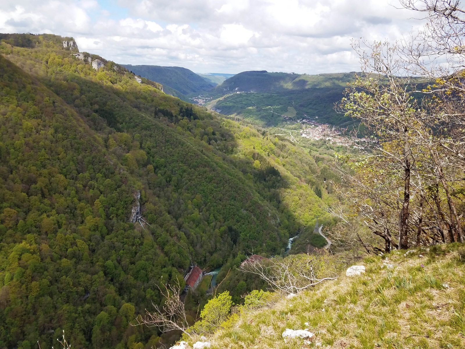
From the tourist parking lot, the route leads down to the impressive source of the Loue, then onto the right bank, overhanging the river for a few kilometers, crossing the D67 and climbing to the Aiguillons de Brasse lookout. The circuit continues through meadows and pastures before returning to pleasant forest paths and roads. The cliff-edge path is aerial and can be dangerous, so only experienced and well-equipped hikers should take caution.
More hikes nearby
-
 Autour de Brancion
Martailly-lès-Brancion · Mâconnais
11.1 km · 283 m D+ · Loop
-
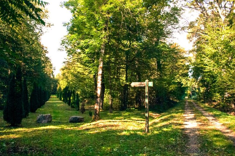 Bois des Fouchères
Recologne
14.6 km · 64 m D+ · Loop
-
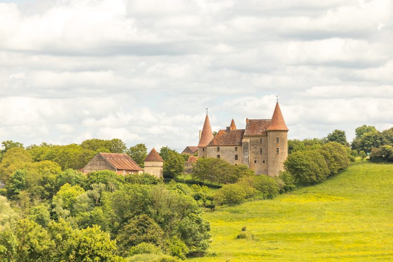 Boucle Gueugnon-Chassy
Gueugnon
11.4 km · 155 m D+ · Loop
-
 Chemin de la Romance
Lain · Puisaye
17.7 km · 227 m D+ · Loop
-
 Chemin du Tacot
Alligny-en-Morvan · Morvan
7.5 km · 182 m D+ · Loop
-
 Chemins de la Jouvencelle
Saint-Gengoux-le-National · Côte chalonnaise
18.5 km · 383 m D+ · Loop