Mitzach-Belacker
Loop of 20.9 km with 847 m of climbing, starting from Mitzach.
- distance
- 20.9 km
- elevation gain
- 847 m
- high point
- 989 m
0
404 m – 989 m
20.9 km
< 4 %4–8 %8–12 %12–18 %18–25 %> 25 %
The hike
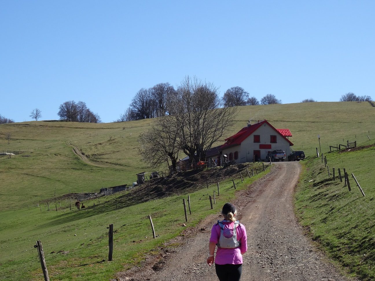
A circuit that goes all the way around the beautiful Mitzach valley. At the highest point, the Belacker stubble fields offer an impressive panorama over the Thur and Doller valleys. A long, wild, medium difficulty trail with a contained difference in altitude and a return in balcony by the "m" circuit, the poets' path. A beautiful challenge in the heart of the High Vosges of Southern Alsace.
More hikes nearby
-
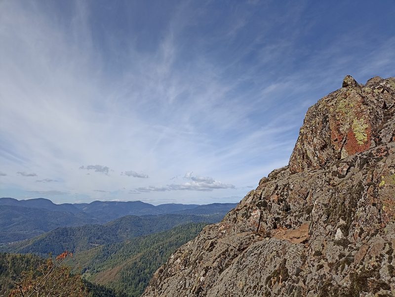 Camp Turenne et Tour du Wolfskopf
Cernay · Hautes-Vosges
17.1 km · 617 m D+ · Loop
-
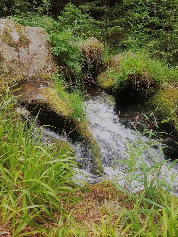 Cascade du Rudlin – Gazon du Faing
Plainfaing · Hautes-Vosges
12.5 km · 624 m D+ · Loop
-
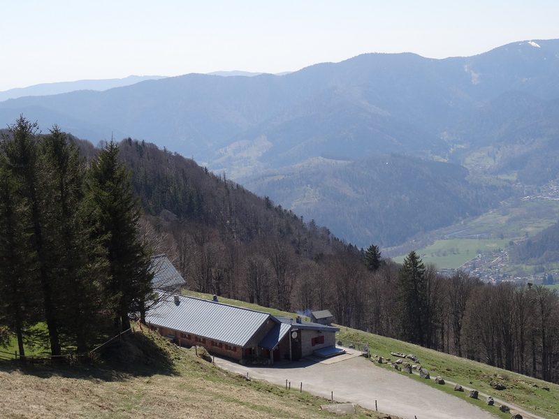 Envol vers le Treh et le Markstein
Fellering · Hautes-Vosges
18.1 km · 1,013 m D+ · Loop
-
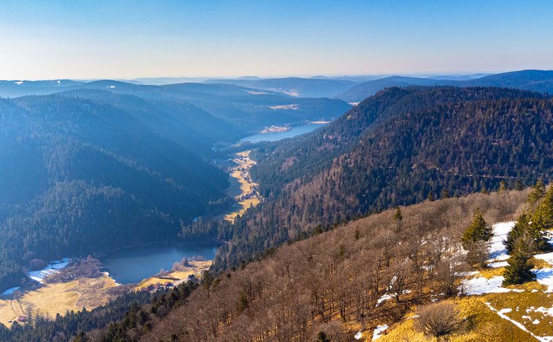 Hautes Chaumes et lacs
Gérardmer · Hautes-Vosges
40.9 km · 1,892 m D+ · Loop
-
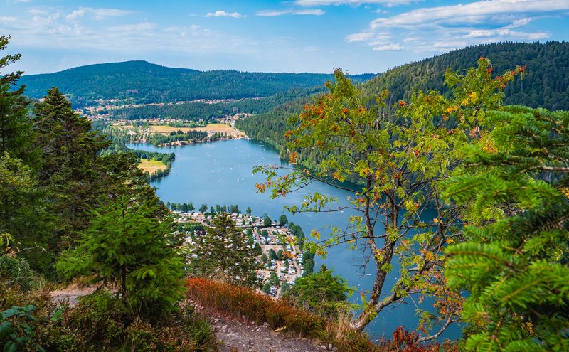 L'Entre 2 Lacs
Gérardmer · Hautes-Vosges
21.8 km · 974 m D+ · Loop
-
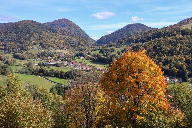 La p'tite trotte des Hautes Vosges
Fresse-sur-Moselle · Hautes-Vosges
22.2 km · 854 m D+ · Loop